Green River White Water Rafting Trips
From snowy Wyoming peaks to Utah’s slick rock canyons, the Green River takes one of the most diverse journeys out of any tributary in the United States. Some of the best sections to explore the Green River include the lush chasms of Gates of Lodore in Dinosaur National Monument, and expansive wilderness of Desolation Canyon.

Green River
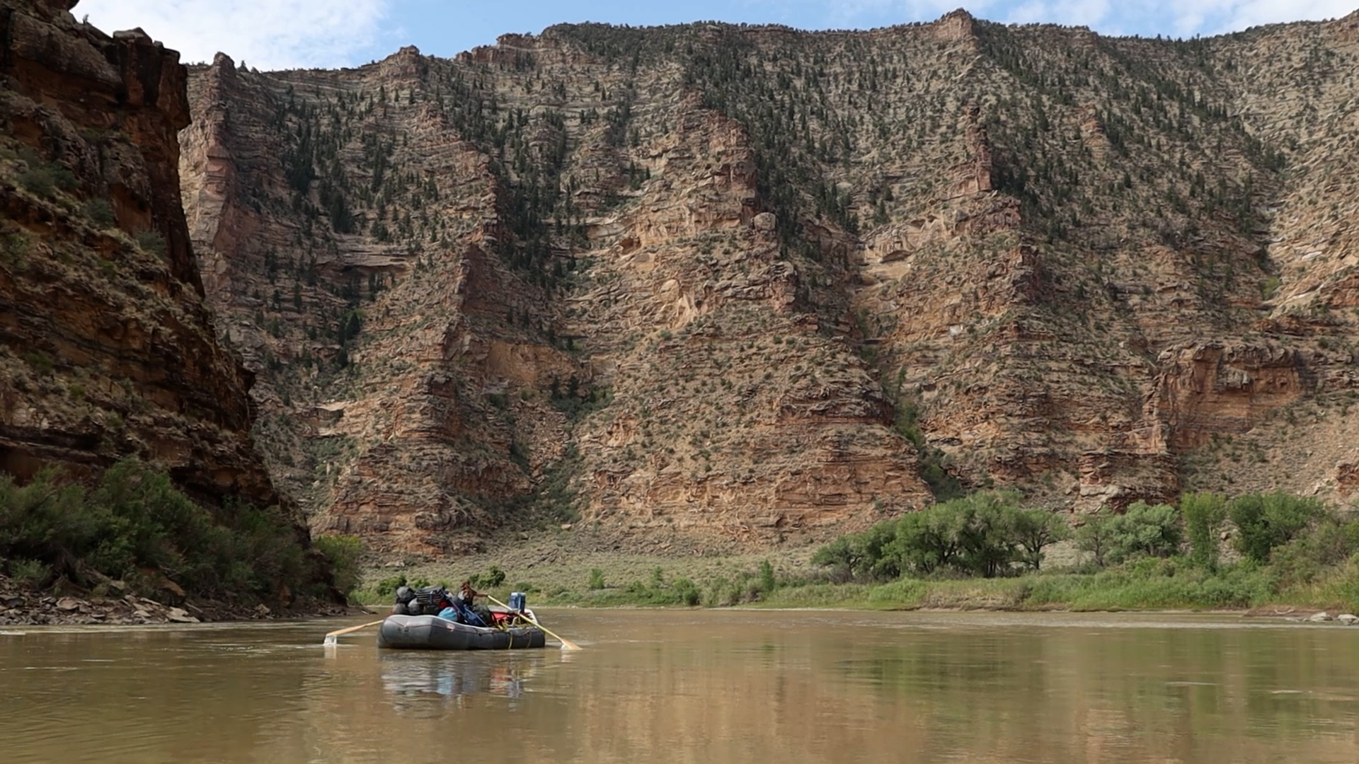
Located deep within the Tavaputs Plateau, Desolation Canyon is one of the most remote wilderness areas in Utah. Steep canyon walls with towering spires and abundant arches.

Green River
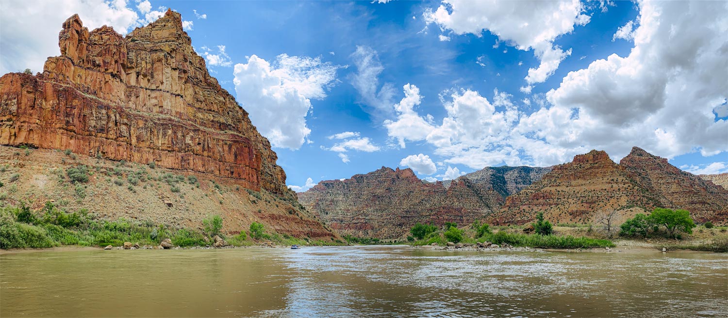
A magnificent towering canyon marks the start of the trip at the “Gates of Lodore” and follows one of the most beautiful stretches of river anywhere. Camp on big sandy beaches, revel at red quartzite cliffs, and enjoy the thrills of 30+ class II & III rapids on a 3 or 4 day adventure.
About Green River Rafting
Where is the Green River?
The Green River begins in western Wyoming, trickling down from the Wind River Mountains, a wondrously jagged range of the Rockies. After Flaming Gorge Reservoir, it flows into Utah and quickly turns east into Colorado, before meandering west again into Utah.
The Green River ends in Canyonlands National Park at its confluence with the Colorado River. From the headwaters in Wyoming to the confluence in Utah, the Green River is 730 miles long.
What are the Green River’s Rafting Sections?
The Green River has many rafting sections! The most popular stretches include:
- Red Canyon (Northern Utah)
- Gates of Lodore (Colorado and Utah)
- Desolation Canyon (Utah)
- Labyrinth Canyon & Stillwater Canyon (Utah)
How long does it take to raft the Green River?
To raft the Green River from start to finish would take weeks. Luckily there are great sections to raft if you don’t have all the time in the world.
- Gates of Lodore commercial rafting trips last 3-5 days.
- Desolation Canyon commercial rafting trips last 4-6 days.
- Labyrinth Canyon commercial trips last 4-5 days.
What is the Average CFS on the Green River?
The Green River’s CFS changes dramatically as tributaries add and diversion dams take, keeping the flows ever-changing from canyon to canyon. Here are the typically low and high ranges during rafting season (spring to fall):
- Release from Flaming Gorge Reservoir: Average is around 2,000 CFS
- Dinosaur National Monument: Average range is between 7,000 and 25,000 CFS.
- Desolation Canyon: Average range is between 5,000 and 20,000 CFS
- Labyrinth Canyon: Average range is between 5,000 and 30,000 CFS
What are the Class of Rapids on the Green River?
Since the Green River is 730 miles long, it’s better to break up its rapids by canyons. Throughout the Green River’s journey to the Colorado River, there are many calm flat water sections, with mostly class II rapids when they do occur.
The largest rapids on the Green River are in Lodore Canyon with class III and IV rapids.
The canyon with the most rapids on the Green River is in Desolation Canyon, with over 60 class II rapids, and a few class III.
What sections of the Green River require a Permit to Raft?
- Gates of Lodore
- Desolation Canyon
- Labyrinth Canyon
- Stillwater Canyon
What sections of the Green River don’t require a Permit to Raft?
- 30 miles below Flaming Gorge Reservoir (Wyoming to Colorado state line)
- Browns Canyon before Dinosaur National Monument (Colorado)
- Uintah Basin after Dinosaur National Monument (Utah)
- Jensen to Ouray before Desolation Canyon (Utah)
Photos
History
Gates of Lodore Quick Facts

Desolation Canyon Quick Facts

Maps
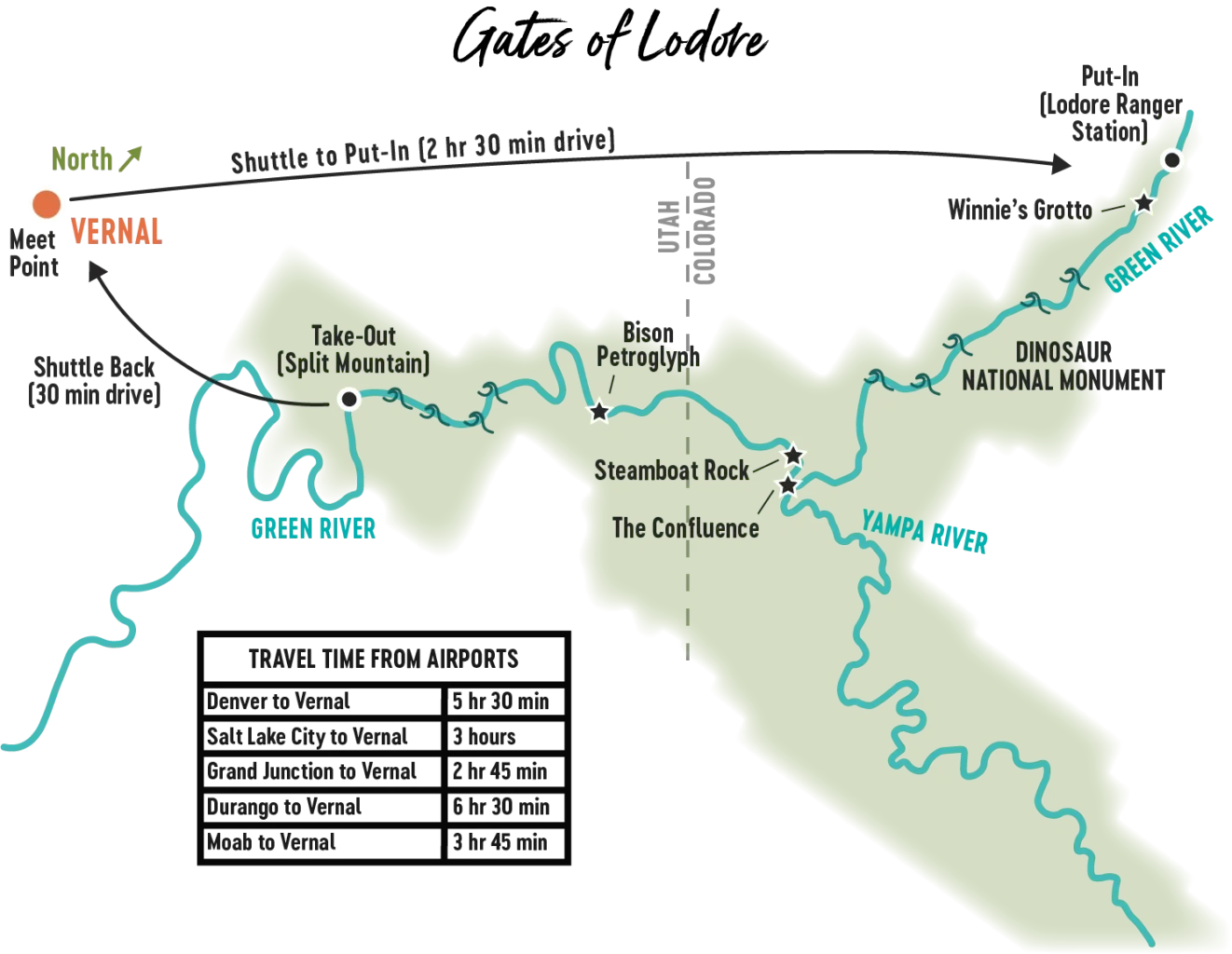
Gates of Lodore

Desolation Canyon

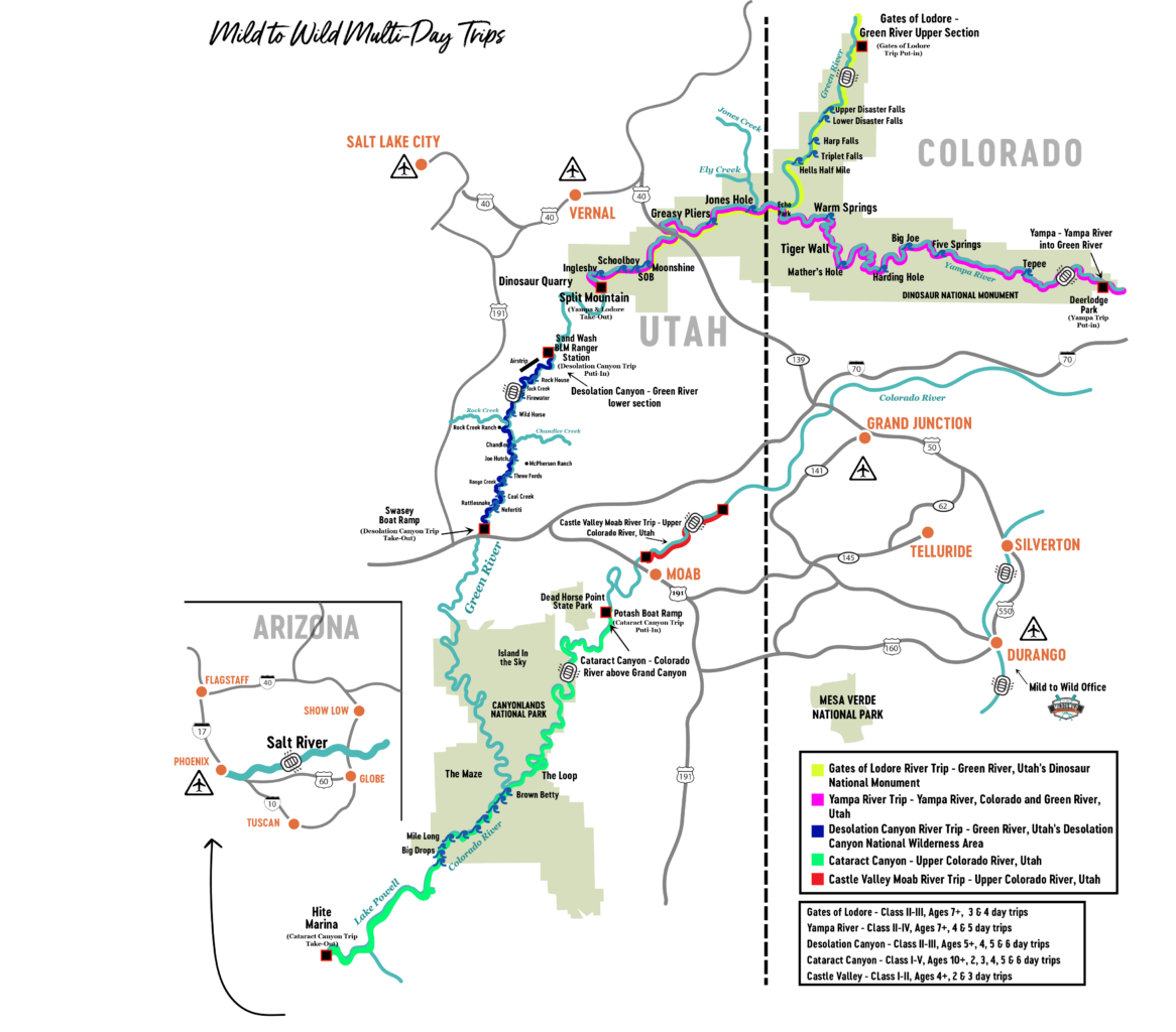
Map of Green River in Colorado Plateau River System

