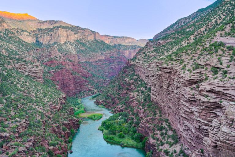
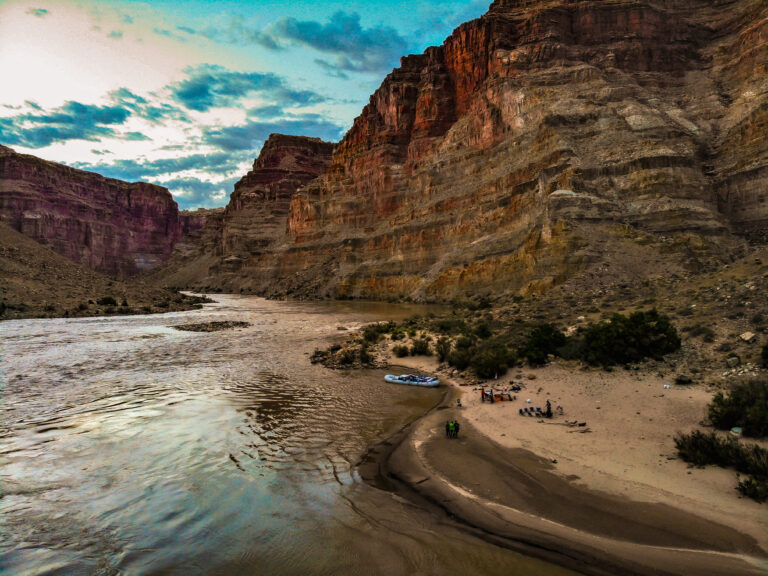
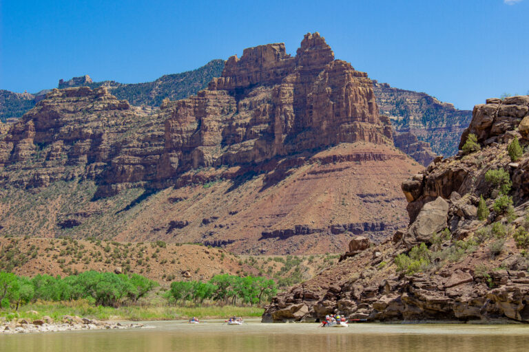
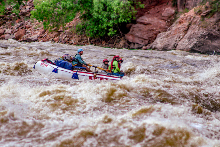
You better air out those Chacos and shake the dry bags out of that crusty hibernation hole, because it’s time for the Rafting Season Forecast of 2024!
In snowy sum, this year’s swell through the Colorado Plateau looks like it’s going to ripple and flow right down the middle— not unmanageably high nor rock-snaggingly low.
Mild to Wild’s owner and season forecaster, Alex Mickel, says, “While the Snotel readings are a barometer, all we know for sure is that this spring the interior is going to be alive with whitewater, cascading down from the peaks to the canyons.”
“Mother Nature is in charge, and like she did for the Salt River, could change the picture late. The cool weather and abundant whitewater in the Arizona mountains took a meager snowpack, and turned into a quality whitewater season with ideal flows for April and early May.”
So while you’re pulling out the river paraphernalia, do a little rain dance and cross your fingers for a cool spring. Let’s dive into the forecasted flows for the rivers Mild to Wild is oh-so-SO lucky to run.
*Snowpack levels were referenced from the National Water and Climate Center on April 10th, 2024.
Colorado River
Snowpack levels in the basins above Lake Powell are currently 112%.
The Colorado River basin above Lake Powell, which feeds the flows through Castle Valley and Cataract Canyon is right at par with its historical averages. Depending on how early Utah’s impressive heat sets in, we should expect a fairly typical runoff throughout the season.
Castle Valley Forecasted Flows
For the Moab daily, expect peak water levels around 26,000 CFS from late May until early June, trickling down to 3,000 CFS by August.
Cataract Canyon Forecasted Flows
The Big Drops and the rest of Cataract’s monstrous rapids will most likely peak to 55,000 CFS by early June, with low flows running around 5,500 CFS by August.
Green River
Snowpack levels in the basins of Wyoming are currently 103%.
The Green River this year, like most others, will have very predictable flows from the scheduled releases of Flaming Gorge Reservoir. These releases are always dependent on the spawning schedule of the endangered fish species. But, they do typically start spreading eggs and seeds by mid-spring.
Gates of Lodore
Between the crumbling quartzite of Lodore Canyon, the Green River will probably flow around 4,500 CFS before the dam release— probably up until early June. After the release, expect a fun runoff peaking around 9,000 CFS, perhaps in mid-June.
Desolation Canyon
After flowing through Dinosaur National Monument, and past multiple contributing tributaries, Desolation Canyon will most likely peak at 18,000 CFS from late May to early June. Low flows should be a typical 3,000 CFS in the heat of August.
Desolation Canyon Rafting Trips
Yampa River
Snowpack levels in basins above Steamboat Springs are sitting at 111%.
Coming in as a top snowpacker so far this spring, the Yampa River should churn up to 15,000 CFS by early June. After the initial runoff, this free flowing stream will most likely ripple around 1,500 CFS by early July.
Animas River
Snowpack levels in the basins of the San Juan Mountains are currently 96%.
Like the other free flowing rivers of Southwest Colorado, the Animas River’s flows not only depend on the initial runoff, but also how much rain the San Juan Mountains continuously create. So while the snowpack is just under average, these flow estimates can change day to day.
Upper Animas
Rippling down from Silverton’s surrounding summits, the Upper Animas is expected to peak at 3,000 CFS in early June and drop to 350 CFS by the 1st of August. This year, Mild to Wild is just running the Needleton Section of the Animas River.
Lower Animas
Durangoans and fellow river goers should expect the swells through town to reach 4,200 CFS in early June, and simmer down to 350 CFS by early August.
San Miguel River and Dolores River
The far spread basins between Mancos to Lizard Head Pass are collectively holding 112% snowpack.
The San Miguel is expected to peak at a rollicking 1,200 CFS by the second week of June, flowing down to 220 CFS by late July.
For the Dolores, we’re not expecting a release from McPhee Reservoir right now. But if April stays wet and cool, keep your dry bag ready!
Piedra River
The basins that share the wealth with the San Juan, Los Pinos and Piedra River are sitting at a collective 109%.
The Piedra River gets its water from multiple streams near the mountains of Pagosa Springs, and unlike last year’s rampant runoff, should have manageable flows to enjoy during its short season!
Peak flows on the Piedra are expected to swell to 2,200 CFS by late May and trickle down to 450 CFS by the third week of June.
Salt River
The Upper Salt River has already served up an amazing season, with the White Mountain basins climbing well above average in March. Expect the Salt River rafting season to float through May, with flows simmering down to around 500 CFS, or higher depending on the weather. Last day to raft with us is May 13!
More Reading
Renaming Southwest Colorado Rivers — The Juan River 1765 Expedition
.

