What is CFS?
Wondering what is CFS when it comes to rivers? CFS is “cubic feet per second,” a unit of measurement referring to the volume and speed of water flow. One cubic foot is about the size of a basketball, so if a stream is flowing at 100 CFS, imagine 100 basketballs rolling down a riverbed together.
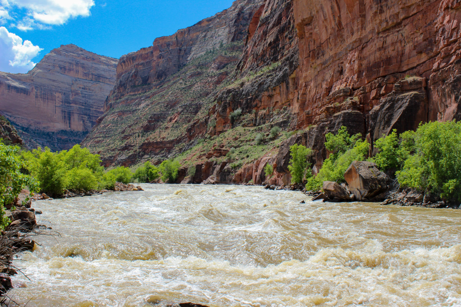
The higher the CFS, the higher a river will be. Depending on the waterway’s descent, width and arrangement of the rocks, a higher CFS can usually means you’ll get larger rapids.
A river, in the Southwest especially, is considered to have high water levels when the CFS is 3,000 and above. Low water levels are around 200/300 CFS. Gauges are installed on rivers in order to measure the CFS and that information can be found on city water data sites.
At Mild to Wild, the classes of CFS are defined as follows:
Class I: “moving water” will let you comfortably float down the river.
Class II: “splashes” will get your legs wet just over the side of the boat.
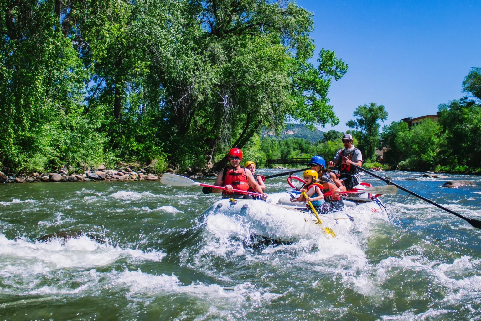
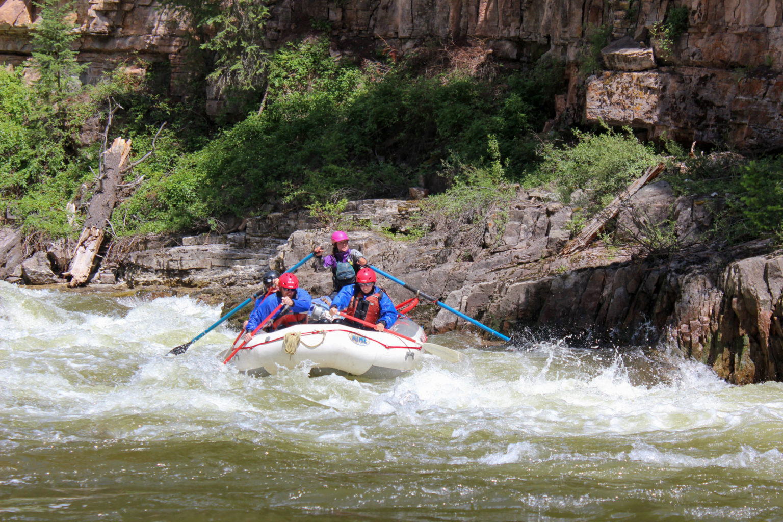
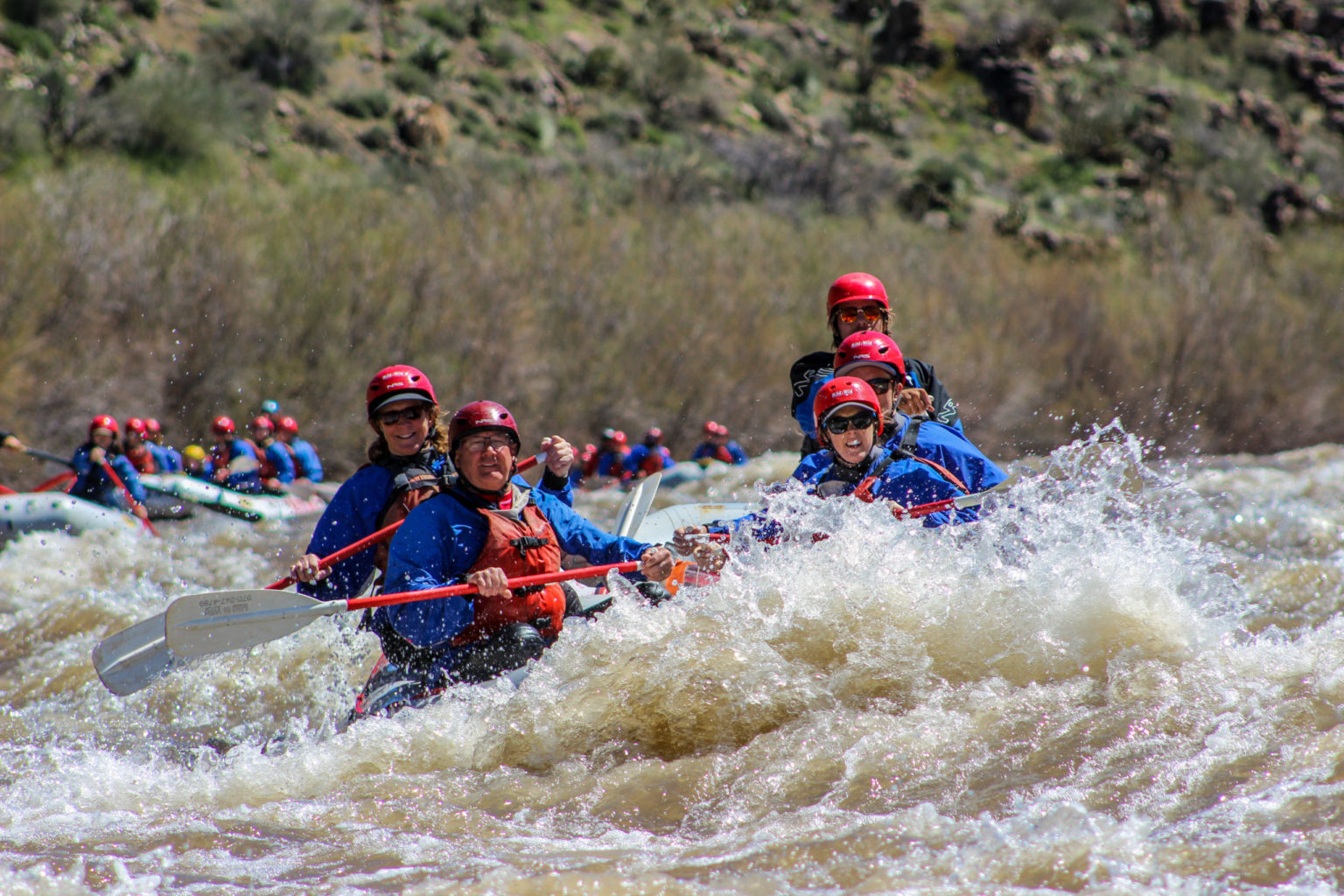
Class III: “wet and fun” rapids will get you soaked head to foot.
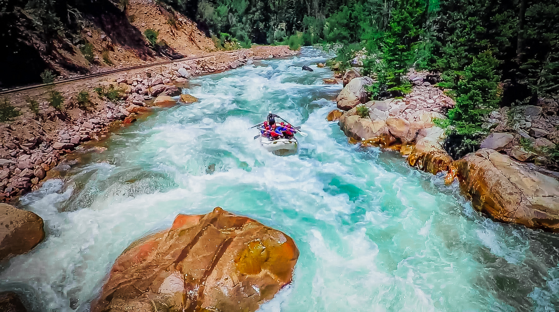
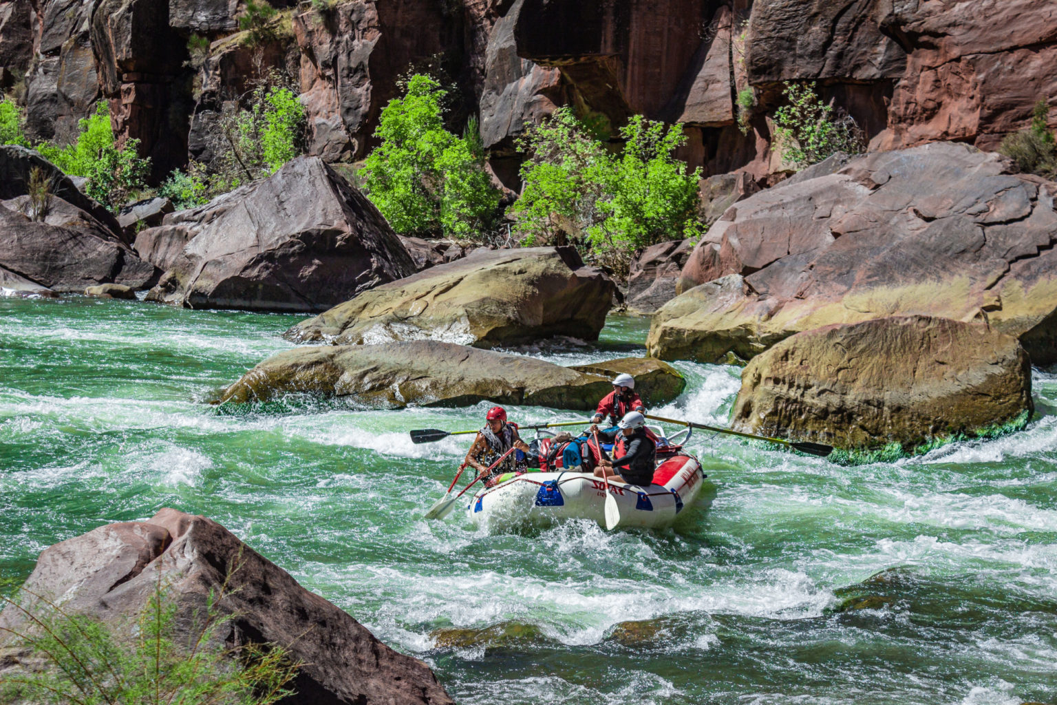
Class IV: “big drops” will jump-start your heart as you paddle through the intense whitewater.
Class V: “violent rapids” will really get your adrenaline pumping and often have to be portaged.
Class VI: “impassable whitewater” means no one has rafted that section and lived to tell.
Mild to Wild Rivers and Their CFS Ranges
Mild to Wild runs multiple rivers throughout Colorado, Utah and Arizona. Our river permits include:
- Lower Animas in Durango.
- Upper Animas near Silverton.
- Dolores River near Cortez.
- Upper and Lower Piedra River near Pagosa Springs
- San Miguel River near Telluride
- Yampa River in Dinosaur National Monument
- Green River through Gates of Lodore in Dinosaur National Monument
- Colorado River through Castle Valley in Moab
- Colorado River through Cataract Canyon in Canyonlands National Park
- Green River through Desolation Canyon in Utah’s largest wilderness research area
- Salt River in a valley 2.5 hours from Phoenix.
Lower Animas – CFS range 800 to 4,500
The Lower Animas is a relatively mellow trip that includes class I, II, and III rapids. The class III rapids takes place at the man-made Santa Rita Whitewater Park. During high water season in late May to early June, the Lower Animas can reach up to 3,800 CS and above. At those levels, we don’t raft the whitewater park and will put in below Santa Rita.
Upper Animas – CFS range 800 – 3,000
The Upper Animas has three whitewater sections, all of which comes with at least class III and IV rapids. The Silverton Section and Needleton Section are the rowdiest with constant class III rapids, and a few sections with class IV and V’s. The Rockwood Section comes with Class II, III, IV(+).
San Miguel River – CFS range 300 to 900
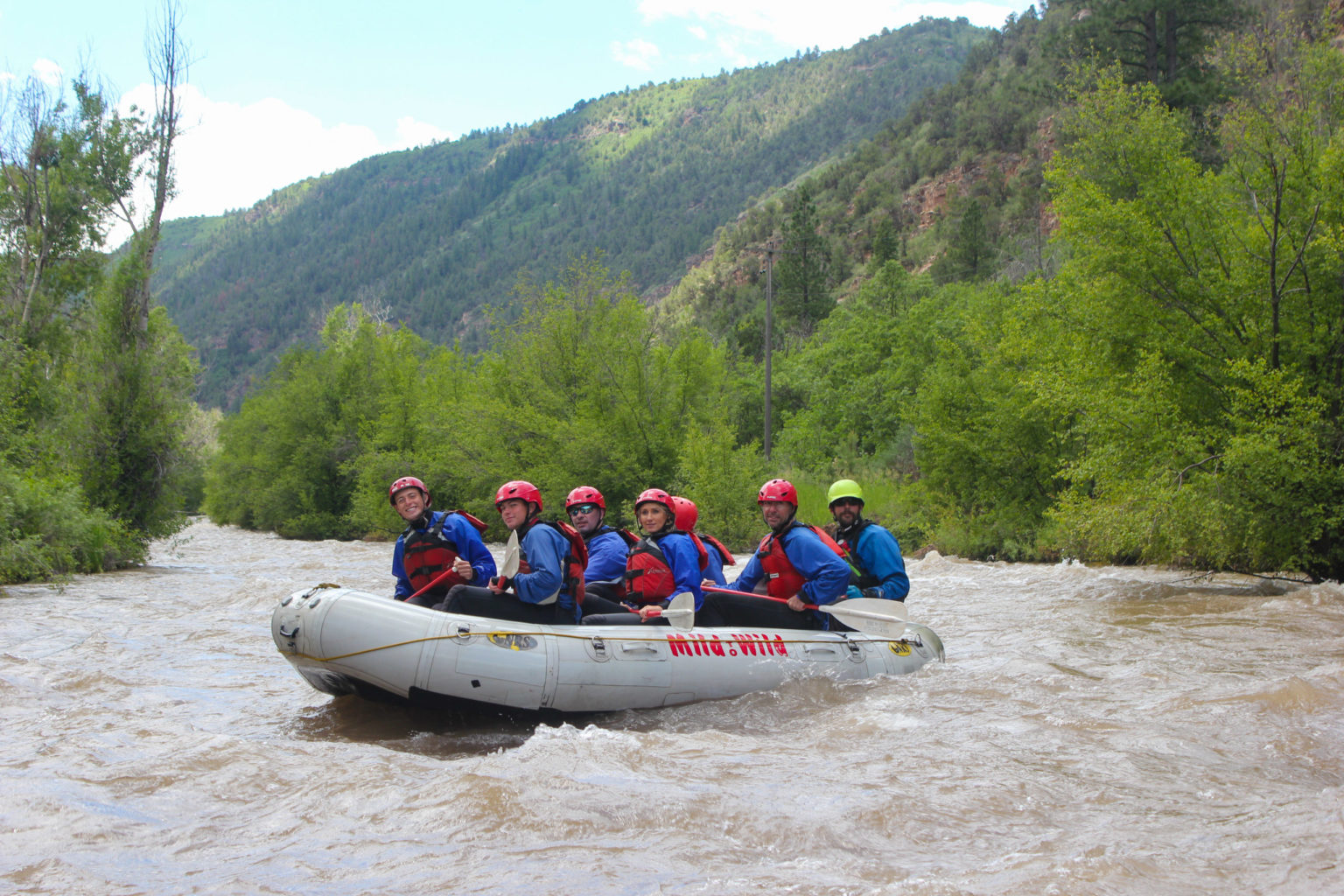
The San Miguel River is an exciting ride as its constant class II rapids make for an exciting, but moderate level trip for folks eager to paddle without being induced with adrenaline the entire ride. The San Miguel also has the occasional class III rapid to keep you on your booties.
Dolores River – Runnable Years, CFS range 800 to 5,000 CFS
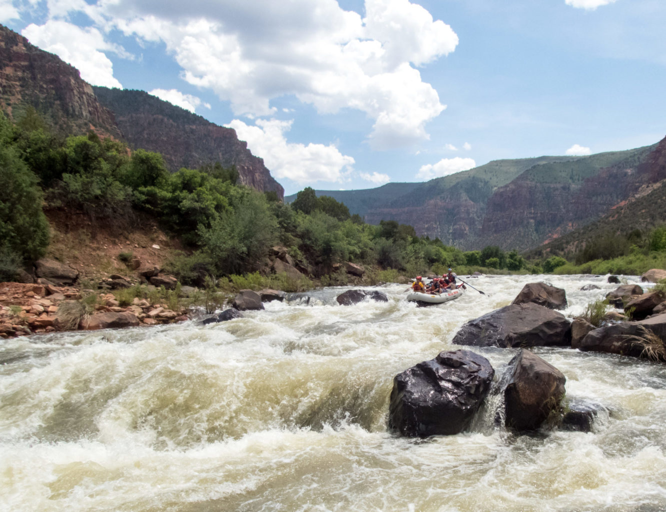
The Dolores River is an incredibly rare river to run due to the McPhee Dam. The waters do not always rise high enough for a release, making it a true privilege when the river does flow through its ancient canyon. Depending on its water levels, the Dolores can churn out class II, III, and IV rapids in Ponderosa Gorge.
Piedra River – CFS range 400 to 3,000
The Upper Piedra has class II, III and IV whitewater with some short sections to rest unlike the most of the Upper Animas.
On the Lower Piedra, class III, IV, and V rapids through staircase drops and chutes make this a highly technical and adventurous rafting experience.
This section of the Piedra River canyon is pretty narrow with staircase drops and chutes, so if the water is too high some rapids must be portaged.
Dinosaur National Monument Rivers – CFS Range 7,000 to 25,000
The confluence of the Yampa River and Green River resides in Echo Park, where the joining waterways make for incredibly fun class II and III rapids in Whirlpool Canyon.
Before joining the Green, the Yampa River can flow between 1,000 and 14,000 CFS with occasional class II and III rapids along the journey, and one class IV called Warm Springs.
The Green River can flow between 1,500 and 5,000 CFS and churns up incredible class II and III rapids through Disaster Falls and Hell’s Half Mile.
Green River in Desolation Canyon – CFS Range 5,000 to 20,000
This long stretch of the Green River is incredibly friendly no matter the water levels. Deso comes with more than 60 sections of class II rapids and few class III whitewater runs throughout its 95 mile drift.
Colorado River – CFS range 10,000 to 45,000++
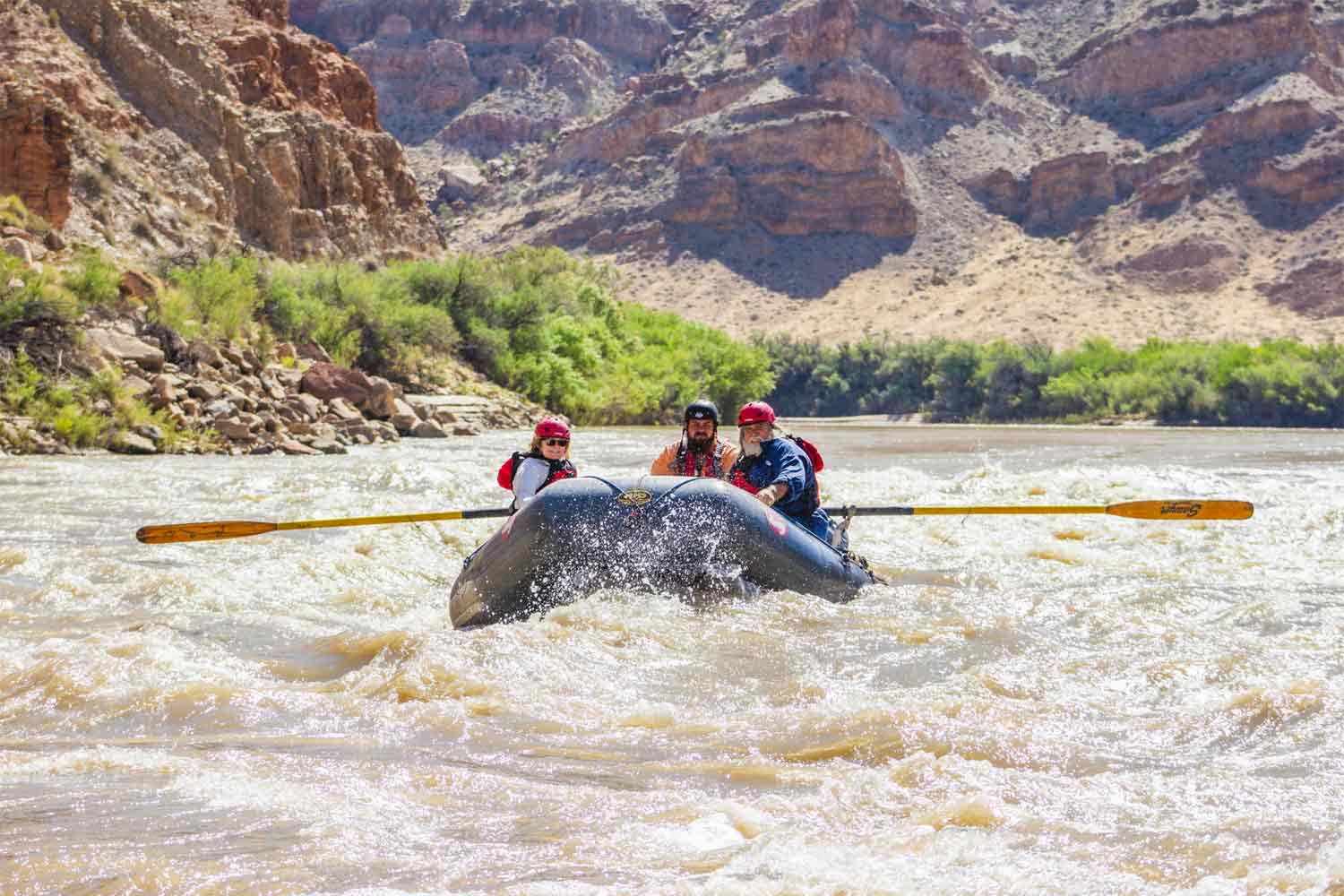
The Colorado through Castle Valley is a very mellow and family friendly section with class I and II’s at high and low water.
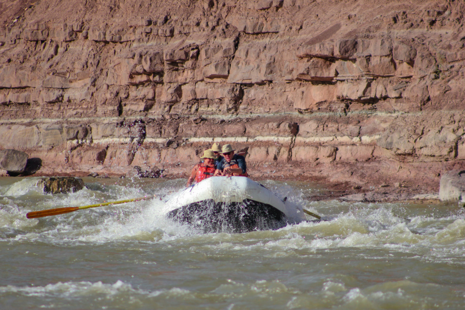
Things change more than quite a bit downstream where the Colorado River enters Cataract Canyon in Canyonlands National Park. Here, some of biggest rapids in West convulse with class III, IV and V life changing whitewater.
Salt River – CFS range 500 to 3,000
The Salt River resides in an archaic drainage basin below the White Mountains. Flows here vary tremendously, and on day trips paddlers can rejoice in constant class II and III rapids, while multi-days get to conquer class II, III and IV rapids. These trips have the same class of rapids for high and low water.
More Reading:

