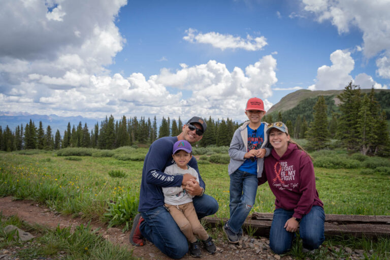
Most people visiting Durango, Colorado don’t know about this wilderness area. But they ought to!
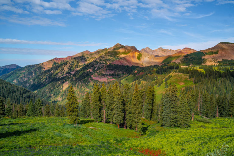
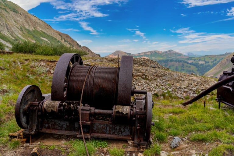
La Plata Canyon is a mesmerizing gateway into the San Juan Mountains, where glacial forces have carved out diverse ecosystems, from aspen groves to alpine meadows. Rich in history, the canyon’s gold and silver mining heritage — reflected in its name, La Plata, meaning “silver” in Spanish — can still be seen in the remnants of old mining equipment embedded in the earth. The canyon road winds alongside the La Plata River before transitioning into a more rugged path, perfect for 4×4 vehicles and Off Highway Vehicles (OHVs).
This guide explores the best off roading, hiking, and more in one of Durango’s most untamed places.
❀
Canyon Overview
The 5 Highest Summits
Nestled just 12 miles northwest of Durango, the La Plata Mountains flaunt 18 peaks taller than 12,000 feet. Hesperus Mountain reigns supreme at 13,232 feet — a giant among giants for freedom-of-the-hills mountaineers.
- Hesperus Mountain – 13,232’
- Lavender Peak – 13,228’
- Mount Moss – 13,192’
- Babcock Peak – 13,180’
- Centennial Peak – 13,062’
❀
Directions
Feeling the call of the wild? Head to La Plata Canyon by taking Highway 124 out of Hesperus, just ten miles west of Durango on US 160. Follow this scenic route for approximately 15 miles until you reach Kennebec Pass, the heart of the canyon. Pack some snacks, roll down the windows, and breathe in the crisp, pure mountain air.
❀
The Seasons
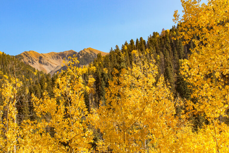
Summer and Fall are the most popular times to visit the La Plata Mountains, offering ideal conditions for hiking, camping, and exploring — gushing waterfalls are common in June, and wildflowers start to pop up in July. There’s a chance you might run into some locals — deer, elk, marmot, moose, bear, fox, birds of prey, etc. — during your visit!
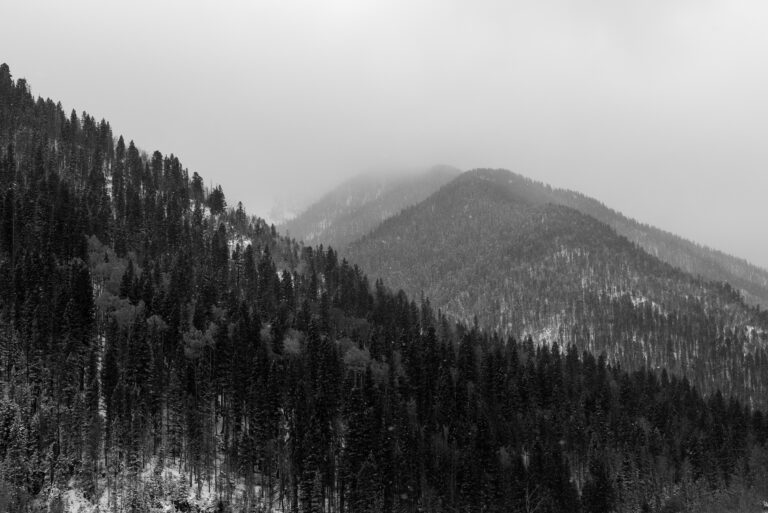
Winter and most of Spring transforms the La Plata Mountains into a snowy wonderland. Snowshoeing and cross-country skiing enthusiasts can explore the backcountry on routes like Aspen Loop and Owen’s Basin, as miners once did with homemade skis or snowshoes for necessity rather than recreation. For a truly epic adventure, the trek to Kennebec Pass offers backcountry bliss. This challenging, 16-mile round trip climb gains over 4,000 feet, culminating in a panoramic view from the 11,600-foot summit. Be warned: the snow lingers in these mountains well into May.
❀
La Plata Canyon Trails
Managed by La Plata County, the area’s impressive peaks offer a plethora of off-roading and hiking trails — perfect for those who don’t mind getting a little dirt on their adventure.
❀
Off Roading Trails
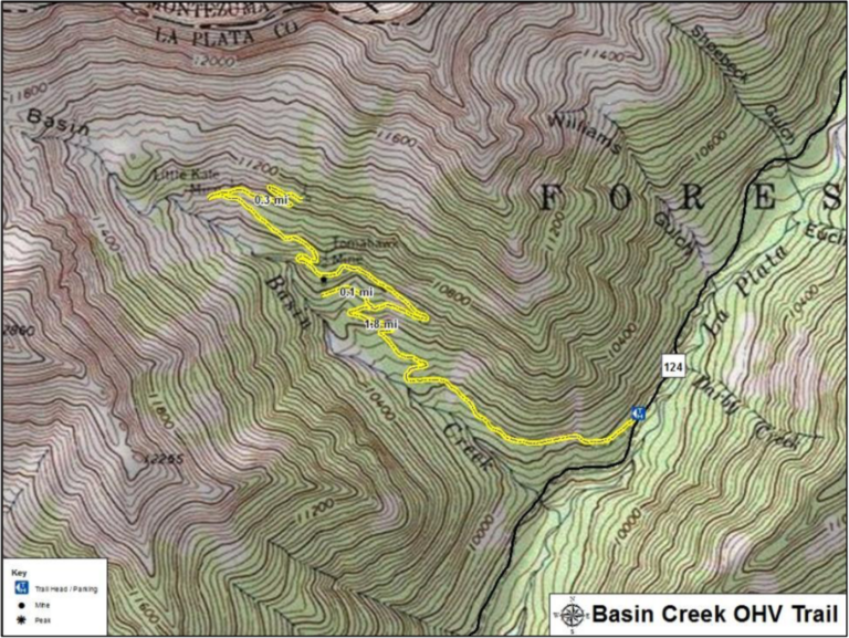
This trail is mostly used for OHVs, but can be hiked as well. The first mile leads to the Tomahawk Mine, where an old mill, used to extract valuable material from the ore before smelting, stands largely intact. The remaining mile then leads to Little Kate Mine. Other than scarred land and a boiler in the creek, little remains of this mine.
| Difficulty | Route Type | Distance | Elev. Gain |
| Difficult | Out & Back | 4.8mi/7.6km | 1,050 ft |
_____________________________________________
2. Columbus Basin
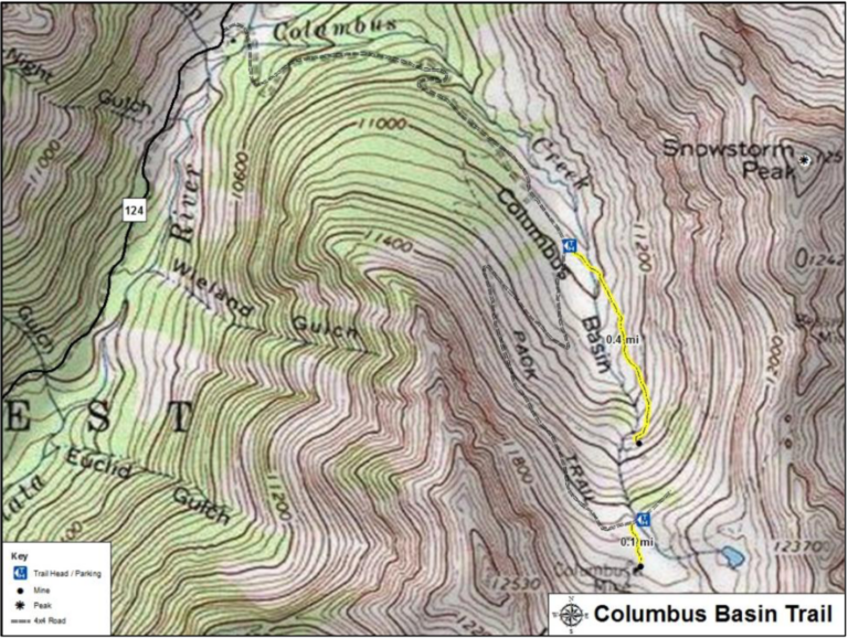
Reaching the trailhead requires a 4×4 with high clearance for the first mile. Otherwise, one must hike two miles on a rocky road from CR-124. From the trailhead, explore an abandoned mine with a short, half-mile out-and-back hike. For a longer adventure, venture 0.4 miles to the Columbus Mine, but be aware there’s no established trail. Alternatively, take a 4×4 road directly to the Columbus Mine. The Bessie G Mine is located at the end of the road where the foot trail continues over the ridge to the north. As you face the basin, it’s to the left of the Columbus mine.
| Difficulty | Route Type | Distance | Elev. Gain |
| Moderate | Out & Back | 0.8mi/1.4km | 360 ft |
_____________________________________________
3. Slide Rock East
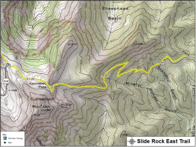
The first 0.7 miles of this trail is a 4×4 road to Kennebec Pass. One then has the option to turn around or continue on the trail for another 2.6 miles (one-way) before reaching Colorado trail 28.
| Difficulty | Route Type | Distance | Elev. Gain |
| Moderate | Out & Back | 6.6mi/10.2km | 1,745 ft |
❀
Hiking Trails
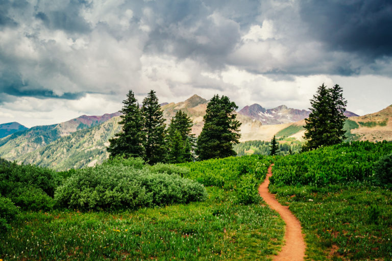
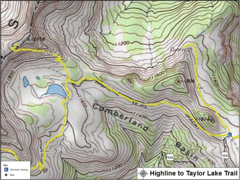
It’s a crowd-pleaser! This easy trail winds through wildflower meadows to the lovely Taylor Lake. For a steeper challenge, continue to the summit for panoramic views.
| Difficulty | Route Type | Distance | Elev. Gain |
| Moderate | Out & Back | 2.4mi/4km | 80 ft |
_____________________________________________
2. Sharkstooth Pass
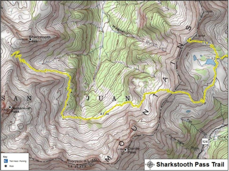
For those who want a challenge, continue from Taylor Lake onto the Sharkstooth Pass trail, adding an additional 9.4-miles round trip and an additional 1,000 ft. elevation gain.
| Difficulty | Route Type | Distance | Elev. Gain |
| Difficult | Out & Back | 11.8mi/19km | 1,080 ft |
_____________________________________________
3. Slide Rock West
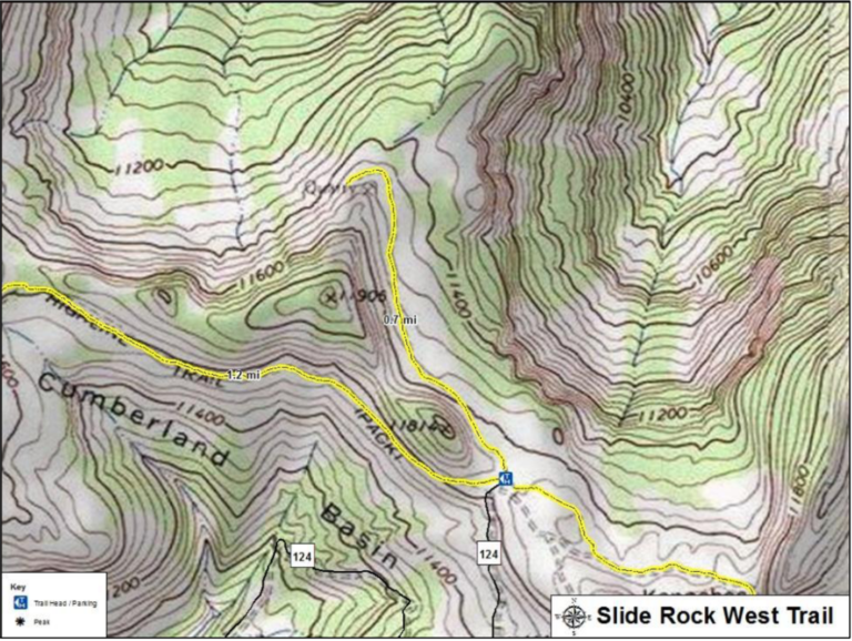
For a relaxed outing, start from the Highline Trail parking area. This out-and-back route offers serene views of the South Fork Hermosa Creek Valley.
| Difficulty | Route Type | Distance | Elev. Gain |
| Moderate | Out & Back | 1.4mi/2.4km | 160 ft |
_____________________________________________
4. The La Plata Enchilada
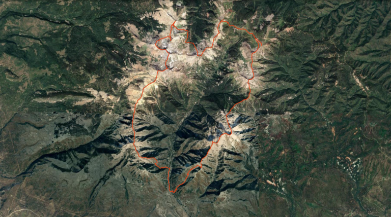
This loop traverses the entirety of the La Plata Mountains’ main crest, the southernmost portion of the San Juan Mountains in southwestern Colorado, starting at Mayday. Requiring ascents of all crest summits, including those above 12,000 and 13,000 feet, the route begins clockwise from the canyon entrance and can be adapted as necessary.
| Difficulty | Route Type | Distance | Elev. Gain |
| Very Difficult | Loop | 28-40mi | 1,269 ft |
❀
Guided La Plata Canyon Jeep Tours
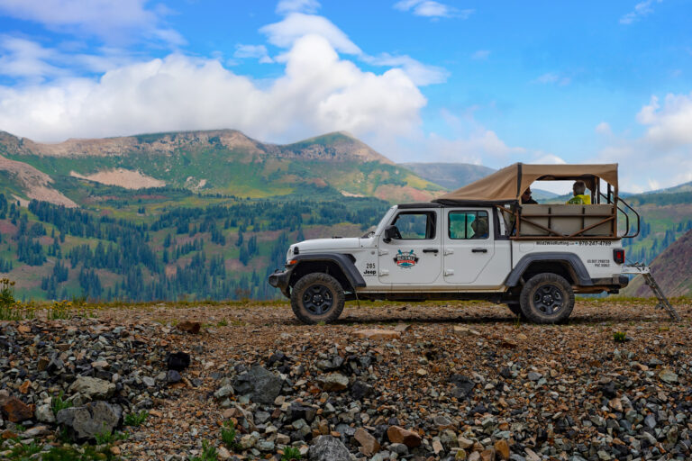
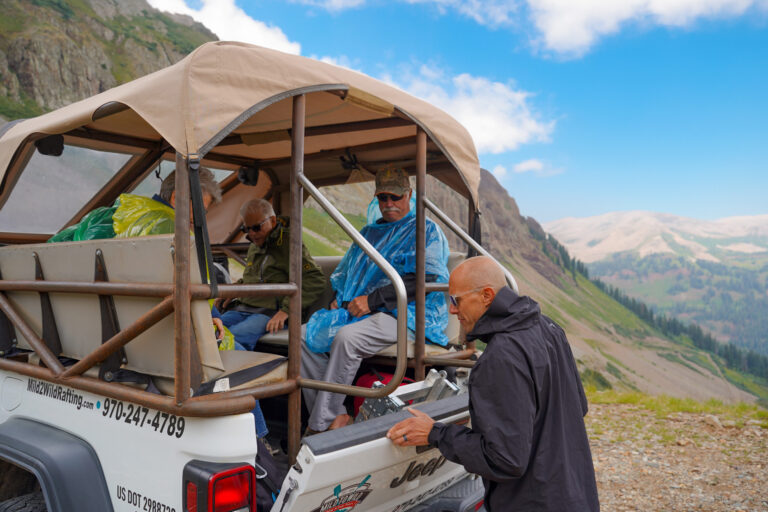
For those who’d rather sightsee as much as their heart desires, Mild to Wild offers morning and afternoon guided Jeep tours in La Plata Canyon. During the journey, knowledgeable guides provide engaging commentary on the region’s history, geology, and wildlife while driving open-air vehicles that allow passengers to fully immerse themselves in the outdoors.
❀
La Plata Canyon Campgrounds
Calling all campers! The La Plata Mountains offer a variety of options to pitch your tent, from private campgrounds to dispersed camping on public land.
Keep in mind that reservations might be required for some of these, so check their availability on Recreation.gov before you go. Dispersed camping is also allowed in designated areas, just remember to respect private property boundaries. No matter your preference, the La Plata Mountains have an idyllic campsite for all types of adventurers.
Here’s a list to get you started:
- Kroeger Campground: Ten shaded campsites await. Enjoy amenities like water, fire grates, picnic tables, vault toilets, and a friendly host.
- Transfer Campground: The Transfer Recreation Area (11 miles NE of Mancos) offers camping (12 individual, 1 group, 4 horse) and a picnic area (5 tables, serving table, grills). Amenities include water, trash pickup, toilets, tables, and fire grates.
- Snowslide Campground has 13 shaded sites (first-come, first-serve). Some have river access. Amenities include fire grates, tables, and pit toilets. Bear-safe food storage is recommended. There’s no potable water (available at Kroeger), you must pack out all the trash, and it’s closed from September to May.
- Bay City Campground: A convenient dispersed camping area located right at the start of the canyon road.
- Madden Creek Campground: Two miles up the road from Bay City Campground, Madden Creek offers dispersed camping.
- La Plata City Campground: The point of congregation for runners who choose to brave the Kennebec Mountain Run in August, La Plata City Campground is a convenient dispersed camping area just one mile up from Madden Creek Campground.
- Lewis Creek Campground: Another two miles up from La Plata City Campground is the dispersed camping area of Lewis Creek.
❀
La Plata Canyon Mining History
Parrot City
The Founding
Legend has it that Juan Maria de Rivera was the first to discover gold along the La Plata River in 1775 while guiding a party through the area, per 4×4 Explore.
The next curious prospectors to do so were Captain John Moss and C. D. Posten when they left the California gold fields in 1856 for the La Plata River. They found placer gold, and in 1873, Moss returned with a group who found gold and quartz, signaling the possibility of lode mines, a type of underground mining involving digging into mountains to extract materials from veins or lodes of rock.
Captain Moss eventually made a treaty with Ignacio, chief of the Southern Utes, allowing his group of prospectors to mine around 36 square miles near the La Plata River Canyon in return for 100 ponies and lots of blankets. With a copy of the treaty and samples of gold quartz, Moss traveled to San Francisco to show them to Tirburcio Parrot, a banker. Parrot was very interested and decided to provide funds for Moss to outfit a party and return to mining.
The End
News of the gold discoveries reached Arizona in 1873, prompting a group of prospectors to head to the La Plata River region. They successfully extracted gold and returned the following year to expand their operations.
Moss and his group arrived by April, 1874, encountering the Arizona group. They agreed to work together, established Parrot City, staked off 20 acres each, built a blacksmith shop, and began mining. The discovery of the Comstock Lode Mine initiated a wave of lode mining, leading to the development of numerous mines in the canyon. Silver mining also contributed to the region’s prosperity. By 1881, Parrot City had a population of over 300. However, the growing town of Durango, coupled with the arrival of the railroad and the construction of smelters, eventually led to Parrot City losing its status as the county seat. In 1898, the Parrott City post office was decommissioned, officially marking the end of Parrott City, according to the Animas Museum.
❀
La Plata City
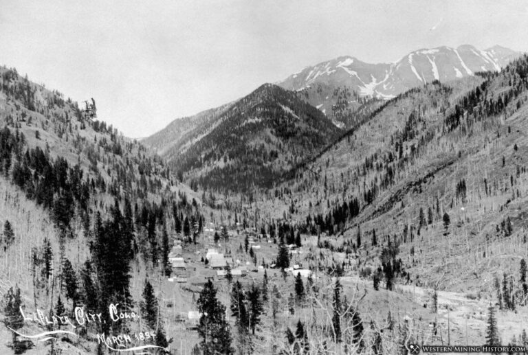
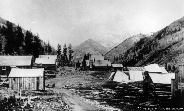
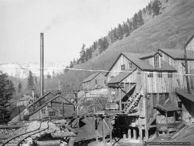
Eventually, a new settlement sprung up out of the gold rush fervor — La Plata City. By 1882, its population was 200, per Western Mining History.
Life in La Plata City was tough, particularly during winter when travel through the snowpacked mountains was treacherous. The town’s postal service was as fleeting as its prosperity, operating only during the boom years from 1882 to 1885. Despite a decline, the community experienced a brief resurgence in the 1890s, evidenced by several contracts for new buildings. However, this revival was short-lived, ultimately fading into obscurity due to fire, other mysterious circumstances, and the inherent challenges of life in the area. These factors likely contributed to the community’s inability to rebuild.
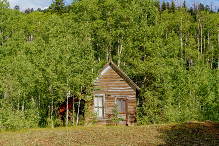
Today, the remnants of La Plata City stand as a testament to the area’s rich mining history. A historical sign at the town site includes text describing the town’s past, including tales of its motley inhabitants, such as Bessie Rivers and her companions, who sought their fortune in the rugged wilderness.
❀
Jaw Crushers, Mills, & Trams
By the late 1800s and early 1900s, mining activity surged in the La Plata River Valley. Major operations like the May Day, Comstock, Cumberland, Gold King, Idaho, and La Plata mines utilized advanced technologies for their time. Jaw crushers, tube and ball mills, flotation cells, and impressive 8,000-foot aerial trams revolutionized ore processing and transportation. These innovations fueled a period of record gold production. However, the high costs associated with mining in this rugged terrain eventually led to the abandonment of these once-thriving operations.
❀
Our Silver-Tongued Advise
Don’t miss out on visiting this wild and wonderful place! Hike to prismatic peaks, explore abandoned mines, or even camp under the stars. Whether you’re into off-roading or simply exploring, La Plata Canyon offers adventures for everyone.
❀

