When and How It Rains in Moab
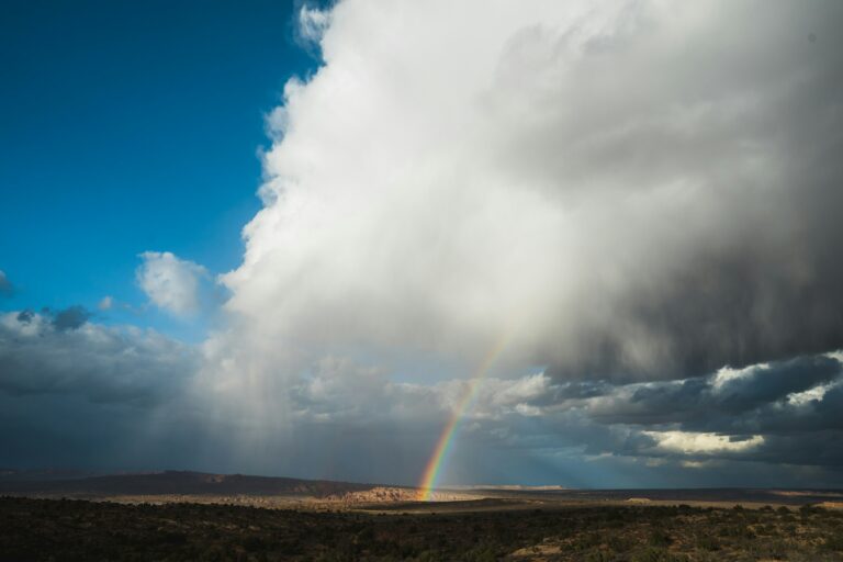
The Moab monsoon lasts from July to September, along with the rest of the southwest. It’s a part of the North American Monsoon, where oceanic moisture from the Gulf of California is delivered into the region through a circular airstream. The result is daily rain showers that transform this desert into a majestic muddy oasis.
Throughout Moab’s monsoon there of course are rainy days, but most of the moisture comes typically in late afternoon. This area is more prone to isolated showers rather than one big blanket of rain. These intermittent downpours can be severe, but usually last only a few minutes before the sun is out again.
This can make it tricky to plan an outdoor excursion when the question isn’t IF it’s going to rain, but where and when. Daily forecasts are becoming much more accurate for hourly predictions, so always check the weather before you head out for an adventure. Always keep an eye on the sky even if rain doesn’t seem to be on the docket, as flash floods can emerge in no time at all (hence the “flash”).
Staying Safe During the Moab Monsoon Season
Since flash flooding is common in Moab, here are some necessary guidelines to help you avoid risks while recreating.
Stay Informed with these Alert Platforms
Download the myAlerts app for Grand County for emergency alerts and weather warnings. Check the Facebook page: Grand County Utah Emergency Management for regular posts for flood, lightning, and weather updates.
Take “Turn Around Don’t Drown” Signs Seriously
It only takes 12 inches of water to carry a small car off into the current, and 18 inches for larger vehicles. Most flash flood deaths are caused by drivers who tried to make it across a flooding road, per the National Weather Service.
Avoid Camping Near Natural Waterways
There are hundreds of campsites along washes, creeks, small canyons, and the Colorado River around Moab. During the monsoon season, these areas are obviously most prone to flooding. Opt for areas on higher ground and avoid camping underneath cliffs or large rock features that may be prone to rockfall.
To see if a campground is closed due to flash flooding or maintenance, check recreation.gov or the Moab BLM site.
Stay Out of These Areas When It Rains
Smaller canyons not only experience flash floods, but also rockfall from the cliffs. Here are some examples of places to avoid while it’s raining:
- Kane Creek and its side canyons
- Castle Valley’s canyons like Onion Creek, Professor Creek, Grandstaff, etc.
- Entrajo Canyon in Spanish Valley
- Fiery Furnace in Arches National Park (permit required)
- Potash Road and its numerous creek trails
Activities to Avoid
Mountain Biking on Muddy Trails
This causes ruts when the soil dries, making for an even rougher ride for bikers and damage to the trails. If you’re planning to bike in Moab during the monsoon season, wait for the trail you want to ride to dry (typically by the next day), or head over to:
- Slickrock Trail
- Navajo Rocks trails
- Rockin A and Circle O in the Bar M System
- Bartlett Wash free ride area
Climbing Wet Rock
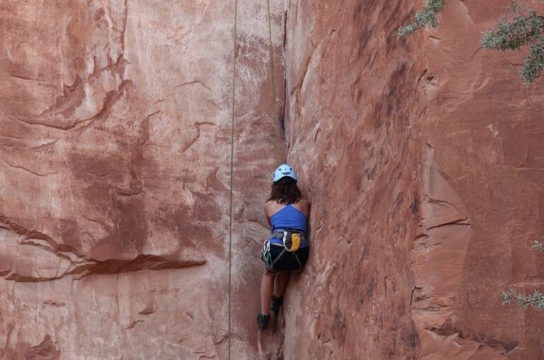
Sandstone can lose up to 75% of the strength when wet— it is made of sand after all! It’s incredibly dangerous, and climbers should wait after 2 full days of sunshine before getting on the walls.
Canyoneering with Rain in the Forecast
If you missed the memo earlier, Moab’s smaller canyons are the most dangerous places to be when a flash flood occurs. It doesn’t have to be raining in the immediate area either for a flood to flow into a narrow passageway.
Where to Enjoy the Extra Water
Alternatively, while these areas that were on the places to avoid list above, they’re absolutely splendid when not in the midst of a torrential downpour. Visit when the forecast is clear!
Waterfalls Around Moab
Gemini Bridges
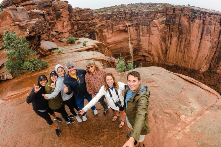
Located 40 minutes north of Moab off UT 313. An incredible off-roading area that features a massive arch (bridge technically) and waterfall. The trail allows you to view both from the top and bottom of the canyon.
Gemini Bridges is only accessible to those with 4×4 and high clearance vehicles. Check out a Moab Jeep Tour if you’d like a knowledgeable and experienced guide to take you!
Moonflower Canyon
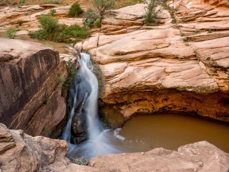
Located along Kane Creek Road about 8 minutes from town. This short hike takes you through a lush side canyon, ending at a tall waterfall that pours into a small pond surrounded by cottonwood trees. It’s less than a 5 minute walk to see the waterfall.
Professor Creek / Mary Jane Canyon
Located in Castle Valley about 35 minutes from Moab. This beautiful slot canyon follows a creek to a 30 foot waterfall. The entire journey out and back is 7 ½ miles.
Fun Creeks to Explore
Onion Creek
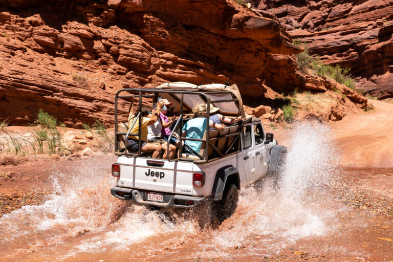
Located in Castle Valley about 20 minutes from Moab. This is a moderate off roading trail with multiple creek crossings where a high clearance 4X4 vehicle is recommended. It’s 11 ½ miles out and back. Consider taking a Moab Jeep Tour if you’d like a knowledgeable and experienced guide to take you!
Grandstaff Trail
Located along UT 198 about 10 minutes from Moab. This beautiful forested side canyon periodically follows a creek to the expansive Morning Glory Bridge. The entire journey out and back is 4 ½ miles.
Mill Creek
A popular hiking area in Moab with multiple swimming holes (aka cowboy jacuzzis), waterfalls, and petroglyphs along the way.
The Colorado River
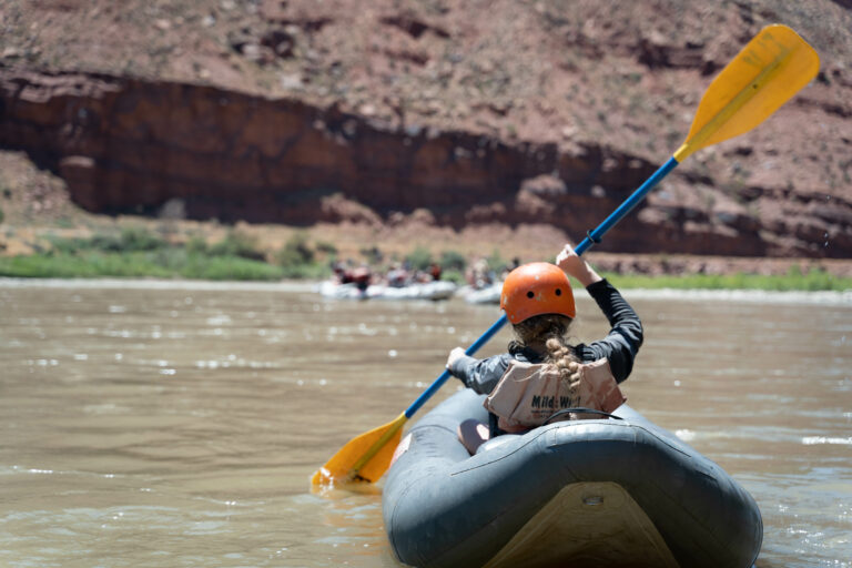
Unlike the areas we discussed that can become dangerous when it starts to rain, the Colorado River isn’t typically one of them. Because the river corridor is so wide, rain doesn’t have as big an effect here. Rafting and kayaking in Castle Valley is an activity you can always enjoy, even during the Moab monsoon season.
Viewpoints for Storm Watching
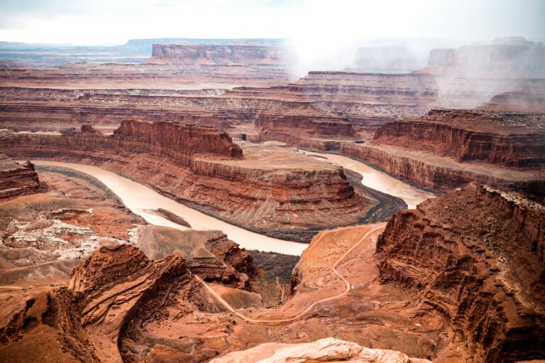
Why run inside when there’s so much to watch across Moab’s landscape? These isolated storms can put on quite the show as long as you’re not in them! Here are some great places to watch the evening rains:
-
Pipe Dream Trail along the west cliffs of town
-
Corona Arch trail along Potash Road
-
Petrified Dunes in Arches National Park
-
Dead Horse Point State Park
-
Sand Flats Recreation Area
More Reading
