Geology of the Upper Salt River Canyon — A Quick Look at a Billion Years

The geology of the Upper Salt River Canyon is one of those stories that looks like Christopher Nolan picked up and ran with. First off, there’s a billion years missing from the narrative, while older rock layers are stacked on top of younger ones, and some formations just join the party without an obvious invite. We’re not going to say it’s just a mess… It’s a beautiful mess.
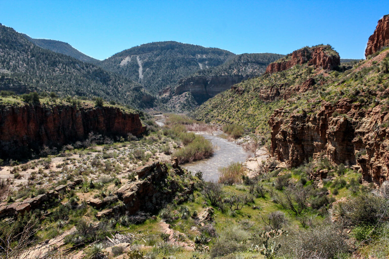
What is pretty spectacular about the Salt River Canyon’s formation is that it reveals the original land laid for Arizona— Well before the Salt River flowed, and well-well before North America even found its current spot on the globe.
The rocks here are also incredibly candid about Arizona’s constant on and off relationship with volcanoes, showcasing many of these chapters throughout the 52-mile journey from the US 60 bridge, down to Roosevelt Reservoir.
Here’s some light geologic gossip to get more acquainted with what you’re looking at down in the Upper Salt River Canyon.
Igneous On Tap — Starting 1.6 Billion Years Ago
Older than dirt itself, the oldest rocks exposed along the Upper Salt River formed 1.6 billion years ago. They’re from the Redmond Formation, which dotes a dark bluish charcoal color and smooth, rippled texture.
These cracked boulders are quite noticeable at mile 38 at the Eye-of-the-Needle rapid down to Horseshoe Bend at mile 22, per A Guide to Salt River Canyon Natural History. Those who have floated the more popular wilderness to the north may recognize them from the base of the Grand Canyon.
The Redmond Formation took shape during an eon when Earth was still in its young, ultra hot phase. The temperatures didn’t even allow for multicellular life for another billion years, per New Science.
And since plate tectonics were still pretty mushy from all this heat, smaller land chunks were moving with ease. Clusters made entirely of volcanoes were ramming into and exploding off the coast of an ancient continent known as Laurentia (which would later break up into today’s North America and Greenland). This massive influx of igneous became the foundation for all of Arizona’s geologic history, per NPS.
This dramatic landing building event was a part of a great uprising known as the Mazatzal orogeny, like Laramide Orogeny that built the Colorado Plateau— just with more drama between the continents and no dinosaurs watching it all go down.
During the uplift, layers of the Hess Canyon Group came on the scene as metamorphism added more pieces to this geologic puzzle. One of the showstoppers of the Hess Canyon Group is the polished Ruin Quartzite scattered through Quartzite Falls and Canyon Creek, per A Guide to Salt River Canyon Natural History. This section is otherworldly, and can’t go unnoticed on multi-day trips in the Upper Salt River Canyon.
Enter the Apache Group and Salt with It
Next in line for the Salt River’s geologic layers were the showstoppers of the Apache Group. After the Mazatzal orogeny finished raising a ruckus, the tectonics cooled down as more oxygen entered the atmosphere. This is thanks to algae flourishing in newly shallow seas, per Berkeley.
Things calmed down so much in fact, the new topography was squashed by erosion for the following 100 million years, per NPS History. These fresh flatlands were quite inviting to the encroaching sea, helping deposit the silt and sand that would eventually harden into the Mescal Limestone and Dripping Spring Quartzite we see in the Upper Salt River Canyon today.
Dripping Spring Quartzite is a prominent layer halfway through the Upper Salt River Canyon, as it’s most likely responsible for delivering the salt of the river’s namesake to the surface, as well as uranium that led to mining in the 1950s, per the U.S Atomic Energy Commission. As for the Mescal Limestone, it brought in plenty of asbestos to be discovered in the late 19th century. More on that later.
After another few quick 100 million years, magma returned to flow through the region as layers of basalt and diabase capped off the Apache Group, per A Guide to Salt River Canyon Natural History.
US 60, the highway that meanders through the Salt River Canyon, was built right into diabase sills in the 1930s, per TRID. One would think because it’s so sturdy, but in fact it used to be quite prone to rockfall! An added source of excitement to the drive into this steep chasm.
After that, the geologic record goes quiet for another billion years for this river canyon, most likely from erosion as this area sat at the base of the Laramide Orogeny— the uprising that built the Colorado Plateau and the Rocky Mountains with it. This event lasted between 80 and 35 million years ago.
You’ve Changed, Salt
During the Laramide Orogeny, the Transition Zone south of the Salt River rose higher than the growing plateau to the north. So gravitationally— this ancient river had to flow northeast, opposite of how it flows today, per A Guide to Salt River Canyon Natural History.
The Salt River began to change directions as tectonic activity in the area led the crust to pull apart (rift) and create new basins, followed by extensive faulting activity at Cherry Creek at mile 15 and Canyon Creek at mile 44.
Things were absolutely popping off in terms of geologic time spans. The south-flowing Salt River we experience took this course only 5 million years ago, per A Guide to Salt River Canyon Natural History. That’s like saying it happened yesterday. Without this 180, who knows if we’d have Phoenix!

There’s Hair in my Limestone! Mining Asbestos
The highest concentration of asbestos in Arizona occurs in the Salt River Canyon, per the Mesothelioma Center. It was discovered near Chrysotile in 1872, 15 miles as the crow flies from the Salt River Canyon.
One of the most prominent mines remaining on the rim of the Salt River Canyon is the Regal Mine, visible near Walnut Canyon. The mine operated on and off from 1916 until permanently closing in 1969.
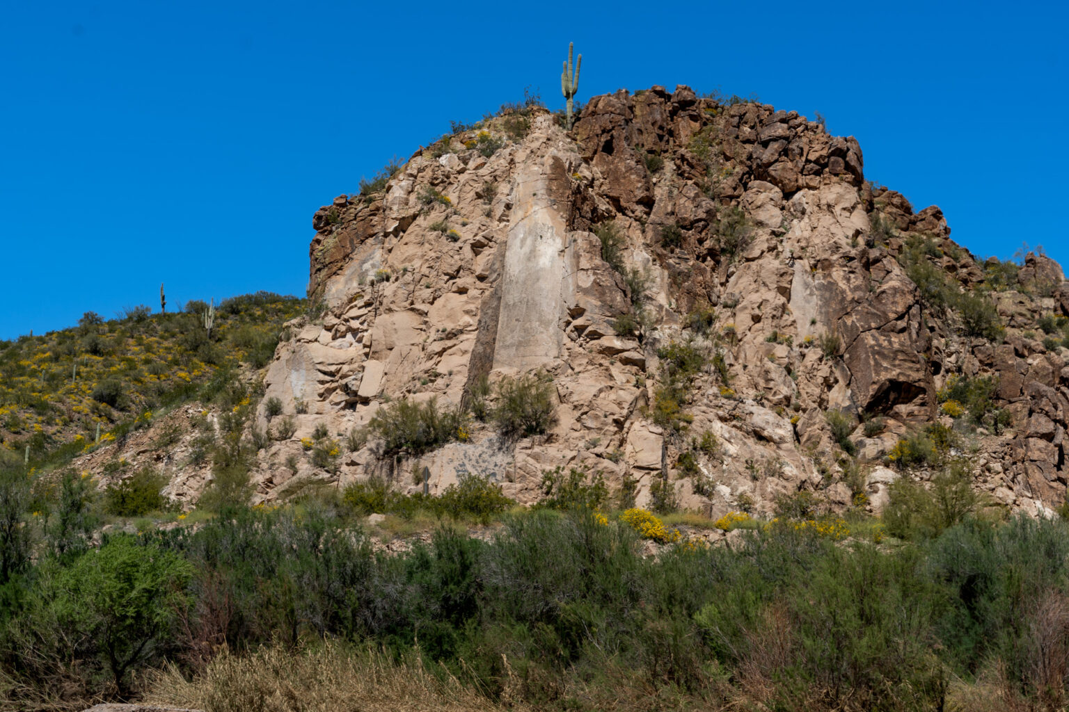
Much of the asbestos found in this wilderness formed within the Mescal Limestone, when magma intruded into the existing sedimentary rocks. This layer is usually visible along the canyon rim in light gray/tan stripes.

From the 1920s, over 200 mines became scattered throughout the area. Most of them were owned by indigenous people, along with the silver mines around Globe.
Asbestos is an undoubtedly dynamic mineral— it’s strong, it’s flexible enough to weave, it’s got a high resilience to heat and chemicals, it’s toxic, it’s highly absorbent, its fibers can cause lung cancer… Did we mention you can weave it?
It was a total hit, even as studies started coming out about the hazards of exposure to it. Ignoring that science for the progression of other science wasn’t surprising, as our need for heat and electrical resistance materials skyrocketed into the 20th century (literally, as it was also used in rocket boosters, per NASA).
However, as the decades passed, the growing cases of lung cancer and mesothelioma became hard to continuously ignore, per Asbestos.com. There have been 1,044 known asbestos-related deaths in Arizona since tracking of this kind evolved in the first half of the 20th century. Luckily, it only took until 1989 for it to be banned for use in the US, per EPA.
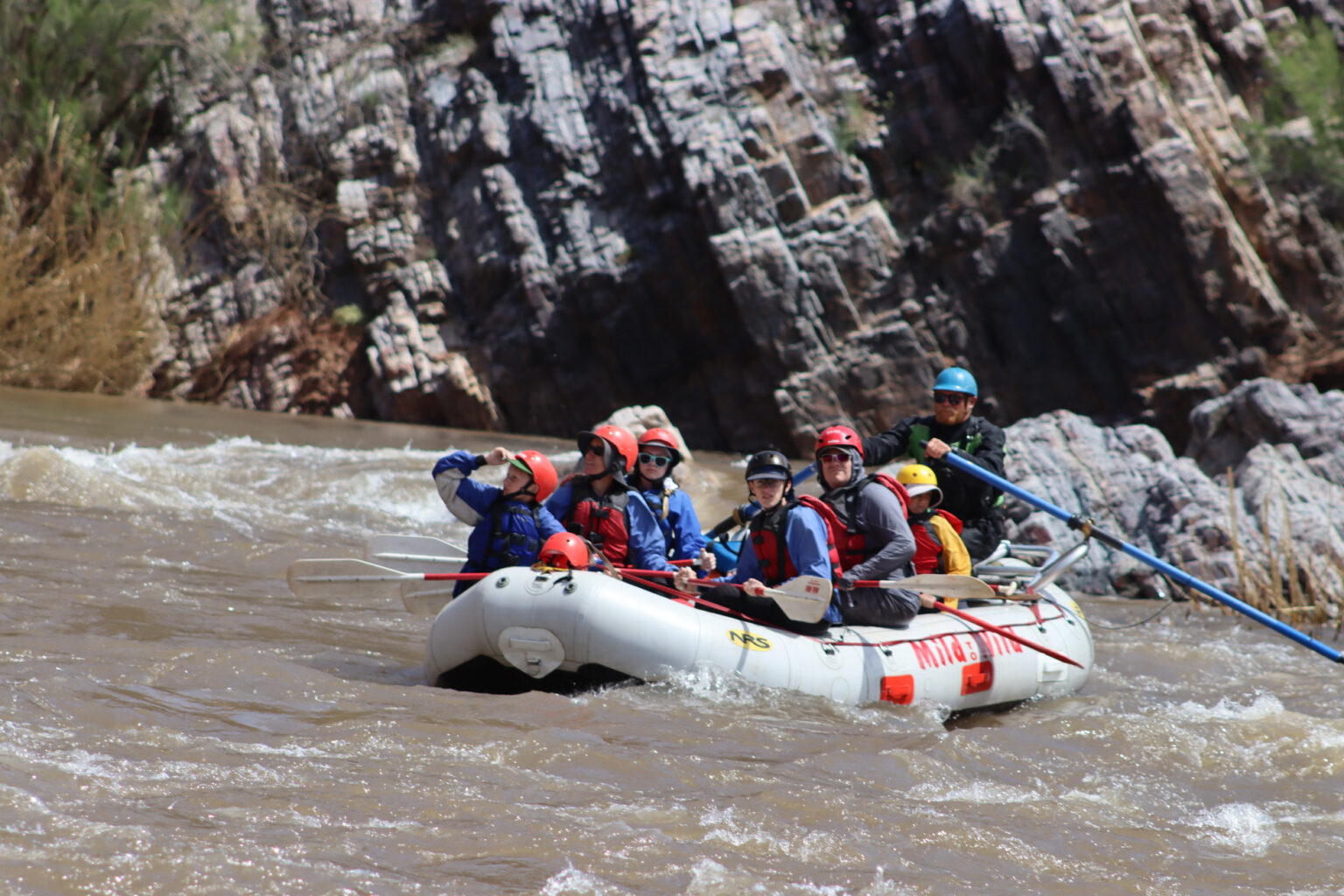
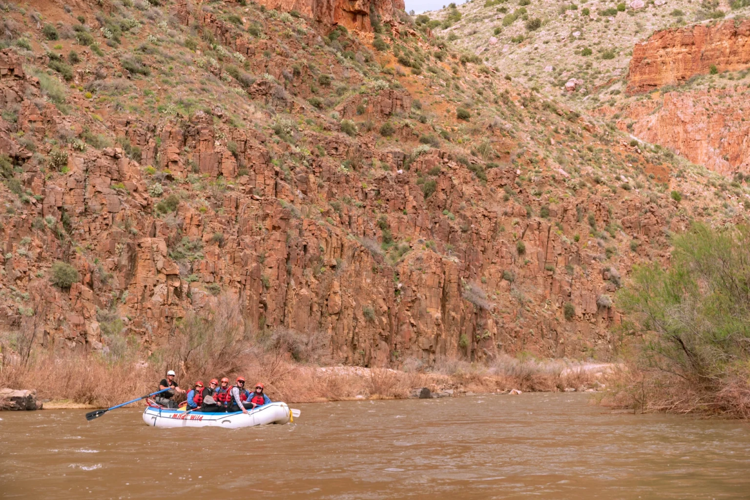
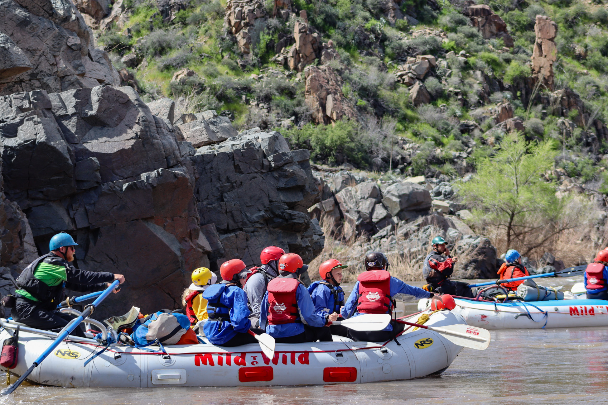
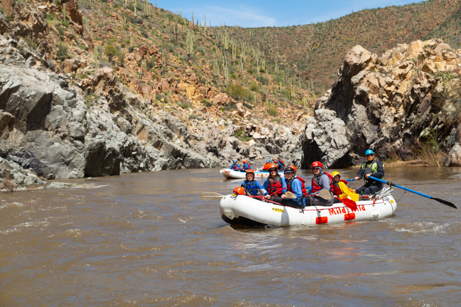
Today, the Upper Salt River Canyon boasts some of the best scenery in Arizona because of these amazing rock layers. Yet somehow it has remained a secret to most. Since most of the canyon is isolated, the best way to see the geology of Upper Salt River Canyon is via raft, which you can do for a couple hours to a few days. Check out Salt River rafting trips here if you want to get the best seat in the house.
More Reading